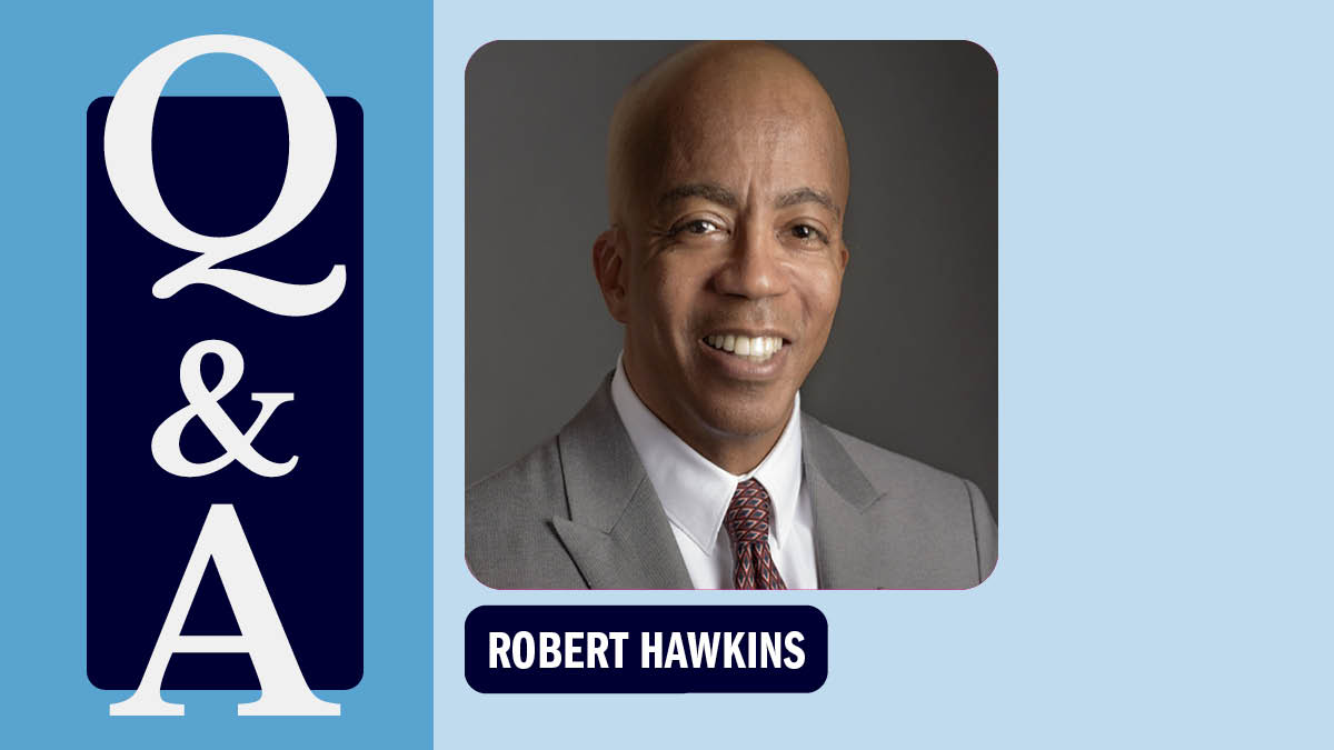
The coastal engineer
Since 1987, Rick Luettich has been building systems to protect the coast from environmental hazards and extreme weather events.
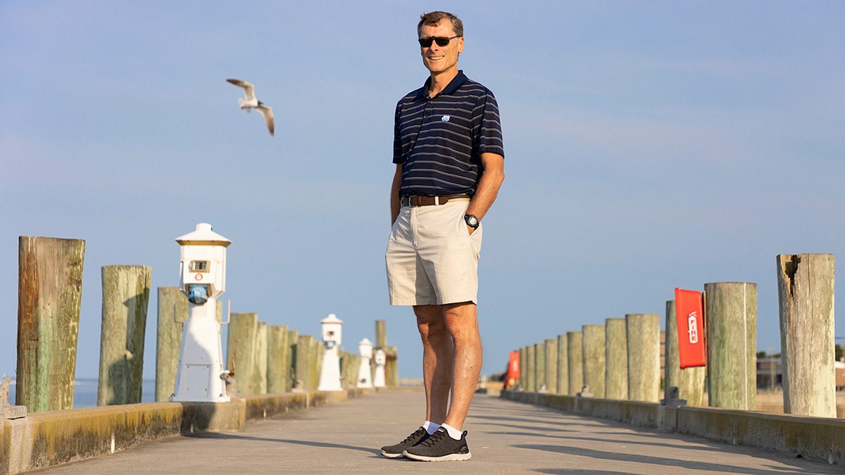
As Rick Luettich walks down the dock that sits behind the North Carolina Division of Marine Fisheries in Morehead City, he looks like someone who’s always lived on the coast. His walk is slow and well-paced, his hands in the pockets of his khaki shorts — and he’s completely unbothered by the scavenger seabirds that fly a little too close for comfort. He wears a pair of those flip-up sunglasses that first became popular in the 1980s, and his suntanned skin glows in the early morning light.
When I ask him where he’s from, it’s hard to believe he grew up in Maine, a place where the average yearly snowfall is 75 inches — that’s 47 inches above the national average. But Maine has more in common with North Carolina than it first appears: all that snow eventually melts, leading to an abundance of water.
Luettich reflects on his childhood in the Pine Tree State, with winters spent playing in the snow. He especially liked the onset of spring when the snow would turn to slush. He’d build snow dams on the end of his driveway to corral all the meltwater, which refroze overnight.
“This usually made it hard for my dad to leave for work in the morning, so it wasn’t necessarily judged as a success,” Luettich says with a laugh. “But there’s no question I’ve had a fascination with water in all its forms for much of my life.”
Although he has a Ph.D. in engineering, Luettich has been a professor at the UNC Institute of Marine Sciences since 1987 and director since 2004. He’s known best by his colleagues for co-creating and developing ADCIRC, a computer model that can predict storm surge and flooding during extreme weather events.
Today, ADCIRC is used by the U.S. Army Corps of Engineers for coastal infrastructure design — like the levee system protecting New Orleans — the National Oceanic and Atmospheric Administration for water-level forecasts, the Federal Emergency Management Agency to determine flood hazard levels for the National Flood Insurance Program, climate scientists to predict flood hazards under future climate conditions, and most recently, the North Carolina Department of Transportation to create a flood-warning system for roads, bridges, and culverts.
But how does an engineer end up at a marine sciences institute?
From freshwater to saltwater
If Luettich’s love of building snow dams wasn’t enough of a sign that he’d grow up to be an engineer, then his childhood love for math and science — and his desire to follow in the footsteps of his engineer dad — were.
In the late-1970s, he enrolled at Georgia Tech as a civil engineering major. While most of his classmates showed interest in transportation, buildings, and other infrastructure, Luettich was more interested in his classes on fluids. There’s that fascination with water again.
In his senior year, Luettich worked on a research project modeling how cooling ponds respond to influxes of heated water discharged from powerplants — a topic he continued to work on for his master’s program at Georgia Tech.
After, Luettich went on to pursue a Doctor of Science degree at the Massachusetts Institute of Technology. For his dissertation, he conducted research at a popular tourist destination in Hungary called Lake Balaton — a large, shallow waterbody with a maximum depth of just 40 feet. Luettich wanted to know how water motion disturbed sediments on the bottom of the lake and, in doing so, affected the release of stored nutrients that could lead to algal blooms.
“The department at MIT was very interdisciplinary,” Luettich shares. “I was challenged to learn about more than physics and the nuts and bolts of engineering. Rather, I was challenged to think about how the various pieces fit together to deal with broader environmental issues.”
Upon completion of his program in 1987, Luettich knew he didn’t want to work for a traditional engineering firm or department. He wanted to pursue environmental problems with an interdisciplinary team of people.
Enter the UNC Institute of Marine Sciences, which was advertising a position for “someone with experience in physical engineering willing to work with biologists, geologists, and chemists.”
While Luettich had never conducted research on the ocean, he believes he was hired at IMS because of the field experience he gained from his freshwater studies. Coastal North Carolina is home to five sounds — waterbodies that connect to the ocean — which are similar to the large, shallow lake Luettich studied in Hungary.
“The institute was a great fit because of its mission to serve the citizens of North Carolina,” Luettich says. “It’s very much applied research, which looked an awful lot like engineering research as I’d experienced it.”
Predicting the future
From early on, Luettich says he had a “split personality” at the institute. He wanted to take advantage of field research — because it was staring him in the face every day he went to the institute, which sits on the shores of the Bogue Sound. But he also enjoyed developing computer models that could predict environmental outcomes.
So, he did both.
He helped uncover that water motion and the lack of oxygen in various parts of the water column were drivers of local fish kills. He worked with a team that placed tiny backpacks on crabs to track their journey across an estuary while spawning. He created a floating device that simultaneously collects data above and below the water’s surface to reveal how winds and tides affect the structure and motion of the underlying water column.
But he also developed what has become a globally used predictive computer model called ADCIRC. It began in the early 1990s with the U.S. Army Corps of Engineers, who needed to identify optimal locations to dump sediment so that it wouldn’t travel back to their dredging sites. Luettich and a fellow MIT graduate student colleague created the ADCIRC computer model to predict how coastal waters move.
By the end of the decade, the Army Corps of Engineers approached the ADCIRC team to tackle an even bigger problem: flooding. They wanted to know whether ADCIRC could predict would happen to New Orleans if it was hit by a hurricane.
“This was an enormous multi-year undertaking of trying to recreate, in a computer, what the geography, the structures, the levees, and all of those things in the greater Southern Louisiana area looked like with enough detail so that our computer model could answer the question, OK, if a storm of this magnitude comes by, what’s likely to happen?”
In 2005, as the project neared completion, Hurricane Katrina ravaged New Orleans.
“When Katrina hit, we were sitting there with this well-developed tool that could address the pressing questions being asked: How could this have happened? What went wrong?” Luettich says. “Basically, ADCIRC became a cornerstone of a forensic study that painstakingly recreated Katrina in a computer simulation so that at various locations throughout southern Louisiana, they could understand what happened.”
While the Army Corps of Engineers led that project, Luettich worked to expand the capabilities of ADCIRC to meet study needs. He served on a few National Academy of Sciences panels that examined the Katrina disaster study, developed guidance for future policy decisions, and evaluated the new $14.5 billion protection system designed by ADCIRC and completed several years later.
From 2012-2019, Luettich served as a commissioner on the Southeast Louisiana Flood Protection Authority and worked to improve efficiency and minimize the potential for failures of the new protection system — and when Hurricane Ida made landfall in 2021, the levees held.
Since Katrina, ADCIRC has been adopted by FEMA to inform its flood insurance program and NOAA uses it as one of their forecast models. After Hurricane Sandy hit New York City in 2012, a slew of private companies adopted the model to evaluate options for making the city less vulnerable to flooding. Today, researchers at dozens of academic institutions from across the world utilize it for their own research needs.
“I am a big believer that you have to be good to be lucky,” Luettich says. “Years of effort went into developing ADCIRC prior to 2005, and in the aftermath of Katrina, it really performed. There was so much need, visibility, and resources that went into ADCIRC during that time, firmly establishing it as the go-to coastal flood model.”
Building — and protecting — bridges
When Hurricane Florence hit North Carolina in 2018, it pushed coastal water onto land and dropped as much as 30 inches of rain in some areas. Numerous roads became impassable, and people flocked to social media sites like Facebook to poll their neighbors about open and safe routes — not the most reliable source to help people make potentially life-altering decisions.
Most recently, the N.C. Department of Transportation has developed an advanced flood warning system that relies on a network of 400 rivers and stream gauges — and information gleaned from ADCIRC forecasts run at RENCI — to analyze, map, and communicate real-time flood risks to roads, bridges, and culverts.
Luettich is also collaborating with several colleagues and students from UNC-Chapel Hill to develop ADCIRC’s capability to predict the effects of compound flooding, the combination of coastal storm surge and intense rainfall.
“This is particularly dangerous for North Carolina, but is quite difficult to model,” he says.
He’s also a member of the Dynamics of Extreme Events, People, and Places project, an interdisciplinary team of Carolina social and natural scientists, engineers, public policy researchers, and data analysts investigating extreme weather events from all angles, including impacts on health and well-being, economic hardships, and environmental harm.
Although he already has 35 years at UNC-Chapel Hill under his belt, Luettich isn’t slowing down any time soon. These projects are just three of a handful addressing the newest challenges society will face as these storms grow more intense with a warming climate.
“Over the years, I’ve tried to develop a skillset, tools, and knowledge that can help solve significant societal problems,” Luettich shares. “In many cases, that requires building new bridges that enable interdisciplinary collaborations — and that’s exciting.”
Read more stories on Carolina researchers atEndeavors.UNC.edu